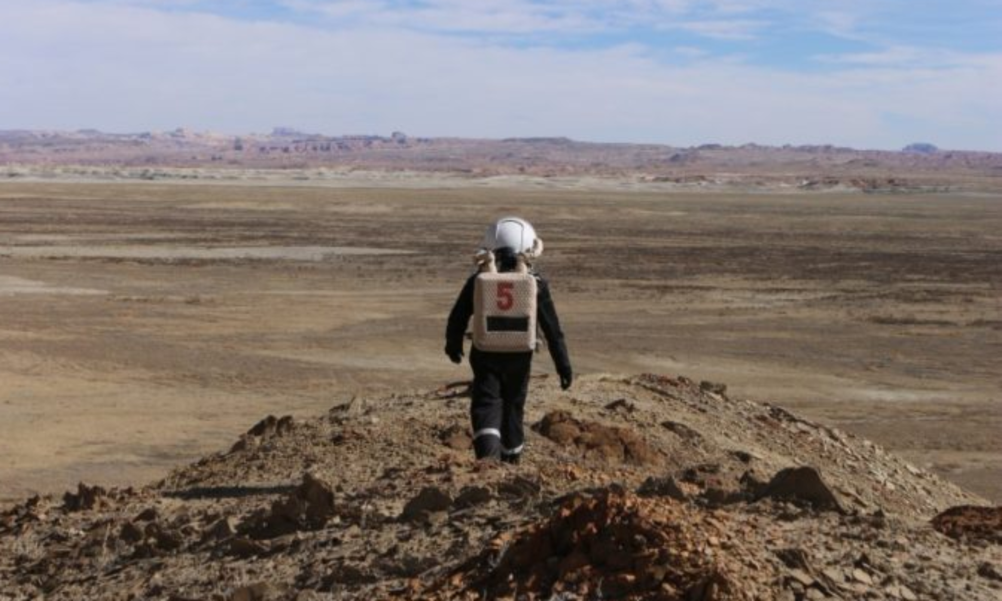

EVA Report – October 17th

Report title: EVA Report
Crew #: 319
Position: HSO / Crew Scientist
Report prepared by: Shriya Musuku; Reviewed by Engineer Ricardo Gonzalez
Date: (17-10-2025)
Sol: 5

EVA #: 3

Purpose of EVA: Geology
Start time: 0900
End time: 1025

Narrative: The EVA started with the purpose of proceeding to cowboy corner via rover and walking to Tharsis Montes via foot to collect geology samples. The crew started out well and in high spirits and reached about halfway before completely losing comms with the habcom. We returned to a point where we could hear them but continued to have a loss of communication due to significant noise. Upon miscommunication, we remained on standby near Galileo road before being asked to return. The noise in our communications led to the understanding that the EVA crew could not communicate with each other, although we were able to hear each other on Channel 2. We returned in high spirits after having enjoyed the weather and getting practice in operating our EVA suits despite not achieving our original mission. The team had a significant learning lesson and developed an improved communications plan for our next EVA, and affirmed over the course of the day that the repeater was interfered with in our canyon, causing the noise or loss of contact with the long range communication (channel 1). We returned on time and were in high spirits despite the situation.

Destination per MDRS Map:
Departure Point: MDRS Base
Rover Drop: Cowboy Corner
Furthest Exploration Point: Tharsis Montes

Destination Coordinates (use UTM WGS 84): 519500 – 4253500

EVA Participants:
Scientist – Shriya Musku
GreenHab Officer – Mackenzie Calle
HabCom: Commander Rym and Engineer Ricardo

Road(s) and routes per MDRS Map:
Cow Dung Road 0110

Mode of travel:
Spirit Rover + walking

EVA Report – <date – October 18th>

Report title: EVA Report
Crew #: 319
Position: HSO / Crew Scientist
Report prepared by: Shriya Musuku; Reviewed by Engineer Ricardo Gonzalez
Date: (18-10-2025)
Sol: 6

EVA #: 5
Purpose of EVA: Geology
Start time: 0900
End time: 1109

Narrative:

EVA Crew Ricardo and Shriya left in high spirits and proceeded to their destination. The crew proceeded along the road where we took a first right to remain on the main road and off the campsite. As we reached the area, HabCom noticed that our comms were cutting out due to the gorges and had a short period of no response. During this time, HABCOM was also troubleshooting their communication systems which were having some failures.

As we were figuring out the landscape and trying to identify which road was Galileo Road and navigate where the next terrain led, we requested HABCOM permission to cross the road and proceed slightly further to scope out the area before we backtracked to our sample collection location. With permission from Mission Support, we proceeded to 518000/4254500 on Cow Dung Road and returned back to Pooh’s Corner after understanding that we were looking at Tharsis Montes ahead of us.

There, the crew collected pictures, Martian flowers, and geology samples as we walked around. The crew was able to successfully figure out where yesterday’s EVA crews had gone and to improve our navigation skills. We also found an abandoned kindle device and dropped a marble at Marble Ritual site after getting permission from HABCOM. We returned safely and happily, albeit a little tired at the end of the EVA. We are glad about our successful research outcomes and explorations.

Destination per MDRS Map:
Departure Point: MDRS Base
Rover Drop: The Peanut
Walk around the Peanut on route to Tharsis Montes
Furthest Exploration Point: Tharsis Montes

Destination Coordinates (use UTM WGS 84):
Departure Point: MDRS Base
Rover Drop: Pooh’s Corner
Furthest Exploration Point: Intersection of Cow Dung Road 0110 and Galileo Road 1104

EVA Participants:
Scientist – Shriya
Engineer – Ricardo
HABCOM: Journalist Mackenzie and Commander Rym

Road(s) and routes per MDRS Map:
Cow Dung Road 0110
Galileo Road 1104
Mode of travel:
Curiosity Rover + walking

EVA Report – <date – October 20th>

Journalist Report
Crew 319
Position: Crew Journalist
Report prepared by: Mackenzie Calle
Date: 20-10-2025
Sol: 8

Report from Sol 8

Reporting from Sol 8 10.20.25 17:50PM

Crew 319 enjoyed a more restful Sunday evening and caught up on some sleep before heading out on two, three-hour EVAs today, the longest we have achieved so far. EVA Crew 1 with Commander Rym Chaid and Crew Scientist Shriya Musuku took Perseverance Rover to the dinosaur quarry at the Gateway to Lith to explore the terrain before collecting mineral samples at Cowboy Corner, including some surprise pieces of what appears to be quartz. EVA Crew 2 with Crew Engineer Ricardo J. Gonzalez and Crew Journalist Mackenzie Calle took Opportunity Rover for its first EVA of our mission and headed to Somerville Overlook and were astounded at the views of the canyons and plateaus that we could see for miles. They also collected many geological samples, especially those that had crystalline and botryoidal structures. We noticed a strong sprinkling of red rock amongst the soft clay. The marbling in the canyon plateaus was also very strong.

The two EVAs were very productive and encouraging for both crews.

EVA Report – <date – October 20th>

Report title: EVA Report
Crew #: 319
Position: HSO / Crew Scientist
Report prepared by: Shriya Musuku;
Reviewed by: Commander Rym Chaid
Date: (20-10-2025)
Sol: 8

EVA #: 7

Purpose of EVA: Geology
Start time: 0900
End time: 1205

Narrative: The EVA crew left the main hab on the perseverance rover in good spirits and under amazing weather. The crew proceeded to the Gateway to Lith dinosaur quarry and followed the pathway without an interruption. Once in the dinosaur quarry, the crew was able to explore the beautiful terrain, found Martian water, and was able to get some media documentation of our exploration. Additionally, we saw several cool rocks that formed in the area and were able to collect a few geology samples. Once done with our sampling, we left the quarry and proceeded back to the MDRS base with our Plan B, Cowboy Corner, as a pit stop. There, we also collected samples and documented our experience while enjoying the beautiful sun. We also encountered an alien on foot and proceeded to stay away from them to keep ourselves safe. Finally, we made it back to the MDRS base after an amazing, safe, and productive EVA.

Destination per MDRS Map:
Plan A: Gateway to Lith
Plan B (contingency): Cowboy Corner

Destination Coordinates (use UTM WGS 84):
Plan A: 518250, 4255750
Plan B (contingency): 518750, 4253000

EVA Participants:
Shriya Musuku & Rym Chaid
HABCOM: Ricardo and Mackenzie

Road(s) and routes per MDRS Map:
Cow Dung Road 0110

Mode of travel:
Driving (Perseverance)
Walking

EVA Report – <date – October 21st>

Report title: EVA Report
Crew #: 319
Position: HSO / Crew Scientist
Report prepared by: Shriya Musuku
Reviewed by: Commander Rym Chaid
Date: 21-10-2025
Sol: 9

EVA #: 9

Purpose of EVA: Exploration / First Response Training
Start time: 0910
End time: 1105

Narrative: The crew left for the beautiful morning EVA with full energy and explored the valley behind the Hab and practiced splinting in EVA gear to explore how rescues can be done in case of an emergency, without the movement restrictions of the gear. Journalist Mackenzie who had minimal prior experience in medical response was the trainee and Scientist Shriya was the patient and trainer as she talked her through a response to splinting a long bone scenario and a joint. After that, the crew explored the beautiful valleys and peaks behind the hab, collected rocks, said hello to the Crew Engineer in the hab from afar, and finally made their way back into the hab. With much joy and dancing (literally!), the crew achieved not only the goals of the experiment but also crew bonding time through this EVA.

Destination per MDRS Map:
Valley behind the HAB

Destination Coordinates (use UTM WGS 84):
518000, 4251000

EVA Participants:
Shriya Musuku, Mackenzie Calle, & Rym Chaid
HABCOM: Ricardo Gonzales

Road(s) and routes per MDRS Map:
N/A

Mode of travel:
Walking

EVA Report – <date – October 22nd>

Report title: EVA Report
Crew #: 319
Position: Crew Engineer
Report prepared by: Ricardo J. Gonzalez
Date: 22-10-2025
Sol: 10

EVA #: 11

Purpose of EVA: Exploration and Geology sampling
Start time: 09:00
End time: 11:55

Narrative:

Today, Commander, Rym Chaid, and Crew Engineer, Ricardo Gonzalez, embarked on a far journey to Green Mars View. The morning ride was a crisp cool one, filled with sunshine and excitement as they were conducting the longest distanced EVA yet. When the crew arrived at the destination, they were met with a stunning view of deep canyons, with green flat lands and a river at the bottom! At the site, the EVA crew collected a variety of geological samples and captured marvelous images of all the landmarks in view, close and far. They even got to see Martian chipmunks! After some moments of appreciation over the beautiful views of their last EVA of the mission, they safely made their way back to MDRS.
Destination per MDRS Map:
Plan A: Green Mars View
Contingency: Sea Shells

Destination Coordinates (use UTM WGS 84):
Plan A: 520500, 4257000
Contingency: 516500, 4255250

EVA Participants:
Ricardo & Rym
HABCOM: Mackenzie & Shriya

Road(s) and routes per MDRS Map:
Cow Dung Road

Mode of travel:
Rover + Walking

Vehicles you will be using (If applicable): Perseverance

EVA Report – May 1st

Crew 315 EVA Report 01-05-2025

EVA # 20

Author: Michael Andrews

Purpose of EVA: To return rock samples collected at Robert’s Rock Garden for the 3D scanning project and further explore Candor Chasma based on results from EVA 19. At Candor Chasma we searched for more rock samples and performed more drone flight operations.

Start time: 0905

End time: 1150

Narrative: The crew departed the airlock with caught mouse in tow and headed to Robert’s Rock Garden. The last collected rock sample was quickly deposited in the location that it was collected from, and the team headed towards Candor Chasma.

At our destination, HSO Koi released the mouse (affectionately named Remi) in the surrounding environment. He quickly scurried out of sight and we began our hike through the Chasma.

The environment was technical at first to get to the riverbed below, but then quickly became flat and easy to traverse. We traveled down the chasma for about 35 minutes before stopping and heading back. No interesting rock samples were collected, and HSO Koi was not able to get the drone adequate signal for launch.

On the return trip, we stopped at a location above Compass Rock to survey it before exploring it for EVA #21 tomorrow. The team returned mouseless to the airlock at 1150.

Destination: Robert’s Rock Garden and Candor Chasma

Coordinates:

· Robert’s Rock Garden: Easting 518500, Northing 4249500

· Candor Chasma: Easting 520500, Northing 4251500

EVA Participants: Michael Andrews (EVA Lead and Crew Engineer), Urban Koi (HSO), and Elena Saavedra-Buckely (Crew Journalist)

Road(s) and routes per MDRS Map: Take Cow Dung Road south until reaching Robert’s Rock Garden, then complete first objective. Next, proceed north along Cow Dung Road until Galileo Road, then turn right. Proceed along Galileo Road until reaching Candor Chasma and setting out on foot (due east). To return to MDRS, take Galileo Road north and then Cow Dung Road south.

Mode of travel: Take one rover to the destinations above, then travel no more than 2 kilometers from the rovers on foot at each destination.

Vehicles you will be using: Opportunity and Curiosity

EVA Report – May 2nd

Crew 315 EVA Report 2-05-2025

EVA # 21

Author: David Laude

Purpose of EVA: Take CNBC videographer to Galileo Rd for drone flight demo to Compass Rock followed by visit to Compass rock for 3D rock scan and Starlink transmission of data collected.

Start time: 1432

End time: 16:20

Narrative: We arrived location and set up 3D scanner and drone. Rock scanned and data sent to had via Starlink. Drone flew around Compass Rock and returned. Lucas videoed.

Destination: Compass Rock area

Coordinates: Easting 520050, Northing 4252000

Participants: Laude (Commander), Koi (HSO), Andrews (Engineer), Lucus Milliken (CNBC Videographer)

Road(s) and routes per MDRS Map: Exit MDRS onto Cow Dung Road, then take a left to head North. Turn onto Galileo Rd to Compass Rock.

Mode of travel: Curiosity and Perseverance

EVA Report – April 28th

Crew 315 EVA Report 28-04-2025

EVA # 14

Author: Michael Andrews

Purpose of EVA: The crew was to explore the area surrounding the station and accomplish the following objectives:

· Scanned a rock sample with a constructed shroud out on EVA.

· Crew Artist took photos for more artwork and sketches to be composed post-mission.

· Repaired some tunnel tarp rips from the exterior surface.

Start time: 1010

End time: 1158

Narrative: Crew Artist Gagnon and Engineer Andrews departed the airlock at 1010 and brought their supplies out onto the station porch. Gagnon began looking for suitable rock samples while Andrews began to set up the shroud.

The sampling exercise was mostly successful. The first two scans ran nominally, and the third time took some time to upload and rebuild. During this time, Andrews unplugged the camera from the laptop prematurely, which caused the third scan to build incorrectly. This third scan was meant to capture the bottom surface of the rock, so that surface was not properly captured. The entire exercise took about 40 minutes.

After packing up the 3D scanning supplies, Gagnon and Andrews pivoted to tunnel exterior side repairs. Gagnon mainly held all supplies or braced the ladder while Andrews applied zip ties or duct tape patches. At times where the tunnel tarp was tight, they radio’ed CapComm to press on the tarp to relieve the tension from the inside of the tunnel. The science dome tunnel had the largest gaps, and Gagnon expertly created a weave of duct tape patches to seal this tightly.

The team worked right up to the end of the EVA window on repairs, entering the airlock at 1158.

Destination: Area around Hab

Coordinates (use UTM WSG 84): Easting 518200, Northing 4251000

EVA Participants: Michael Andrews (Crew Engineer and EVA Lead) and Tim Gagnon (Crew Artist)

Road(s) and routes per MDRS Map: None, the crew walked around the station, never leaving more than 1 kilometer from the station.

Mode of travel: Walking

EVA Report – April 28th

Crew 315 EVA Report 28-04-2025

EVA #15

Author: Urban Koi, HSO

Purpose of EVA: (1) Fly drone to a target in the distance (previously set by Commander) from the MDRS Habitat Observatory with no EVA suit via a specific flight pattern and compare performance to the same flight pattern with the EVA suit. (2) Next, drive along Galileo Rd and hike a few meters and pilot drone to capture photography of Compass Rock (360º) as the second component to the joint Commander x HSO’s projects.

Start Time: 1455

End Time: 1540

Narrative: Commander and HSO began their EVA with drone piloting to a target in the distance (previously set by Commander) from the MDRS Habitat Observatory: No EVA suit vs. EVA suit on a specific flight pattern and compared performance to the same flight patterns. Each conducted 5-6 flights with and without EVA suit, for a total of approximately 12 flights (take off and landing). Next, Commander, HSO, and Journalist drove Perseverance and Curiosity to Galileo Road, stopped a few meters before where the drop-off point begins near Compass Rock, and conducted a 360º circle flight path around the Compass Rock formation. Journalist stumbled upon an otherworldly plant with an unusual pod; she and HSO marveled at the strange, yet beautiful plant.

Destination: (1) MDRS Habitat Observatory, (2) Compass Rock

Coordinates: Galileo Rd (4252100N, 519000W)

Participants: David Laude (Commander), Urban Koi (HSO), Elena Saavedra Buckley (Journalist)

Road(s) & Routes per MDRS Map: Cow Dung Road, Galileo Road

Mode of Travel: Perseverance + Curiosity (Rovers)

Copyright © The Mars Society. All rights reserved. | Main Site