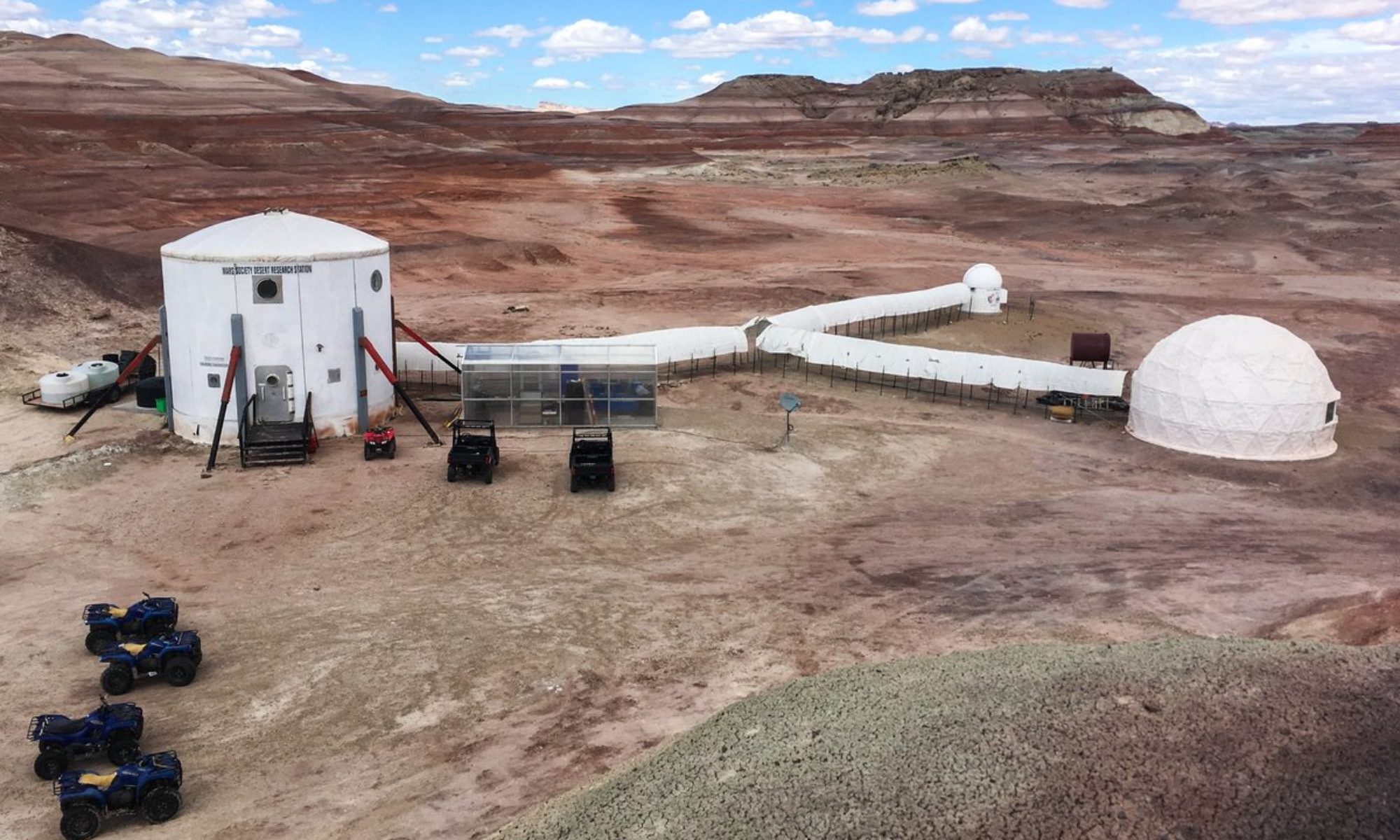

Report title: EVA Report
Crew #: 330
Position: Crew Astronomer
Report prepared by: Célia Parnaud–Amy
Date: 02-03-2026
Sol: 15
EVA #: 13
Purpose of EVA: Exploration and Photogrammetry experiment + stratigraphy experiment.
Start time: 9:33
End time: 11:50
Narrative:
Today, we went to North Ridge to explore, but also to define new waypoints for the photogrammetry experiment. We also did some scouting for the stratigraphy experiment, which is meant to scout interesting geological landscapes in order to draw them and implement a geological protocole.
Destination per MDRS Map: East of North Ridge.
Destination Coordinates: 518750 E, 4251700 N
EVA Participants:
– EVA leader: Célia, Astronomer
– Adrien, Journalist
– Lou, Engineer
– Félix, GreenHab Officer
Road(s) and routes per MDRS Map: Cow Dung Road towards North
Mode of travel: driving and walking
Vehicles : Perseverance, Opportunity