
Report title: EVA Report
Crew #: 330
Position: Journalist
Report prepared by: Adrien Saugnac
Date: (05-03-2026)
Sol: 18
EVA #: 16
Purpose of EVA : Orienteering for photogrammetry experiment at East North Ridge
Start time: 10 : 00 AM
End time: 12 : 00 AM
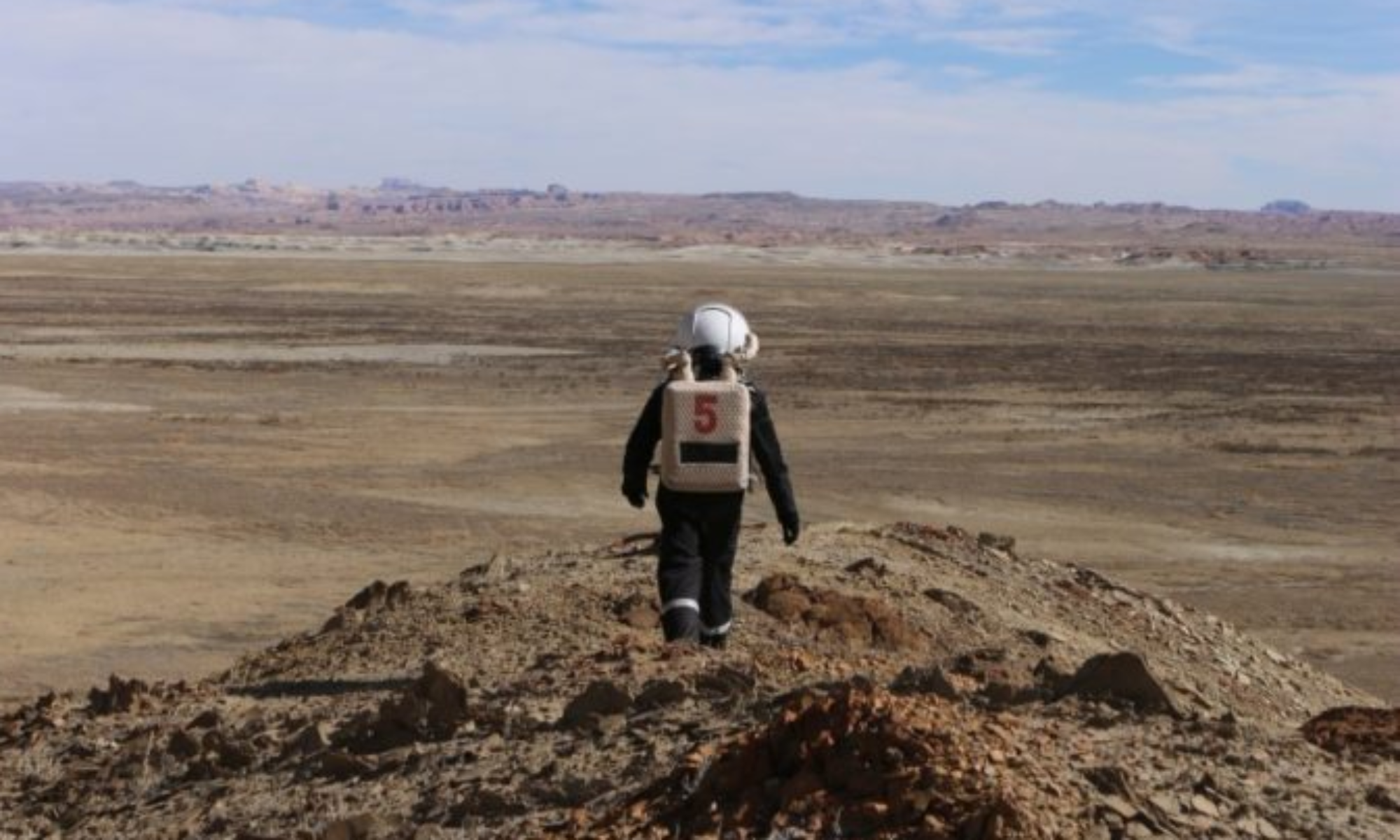
Narrative: When we arrived at North Ridge, we went to the starting point of the orienteering task. Félix and Julien then successfully found the 7 way points in 11 minutes. It’s better than the team with the 2D map. We had time to explore North Ridge and we decided to climb. We reached the top of it but we got back as some snow started to fall. We went back to the station without issues.
Destination per MDRS Map: East of North Ridge
Destination Coordinates (use UTM WGS 84): (518750E, 4251700N)
EVA Participants:
– EVA Leader : Adrien, Journalist
– Félix, Botanist
– Adèle, HSO
– Julien, Scientist
Road(s) and routes per MDRS Map: Cow Dung Road towards North
Mode of travel: driving and walking
Vehicles you will be using (If applicable): Opportunity, Curiosity