
Report title: EVA Report
Crew #: 330
Position: Journalist
Report prepared by: Adrien Saugnac
Date: (23-02-2026)
Sol: 8
EVA #: 07
Purpose of EVA: Exploration and Photogrammetry experiment
The photogrammetry experiment aims to create 3D maps of the terrain around the MDRS. The quality and usefulness of the map will be assessed by other EVAs, using the map to orient themselves. This maps are created using Drone imagery, and this first EVA aims to map out a first point of interest outside of the station.
Start time: 9 : 55 AM
End time: 11 : 35 AM
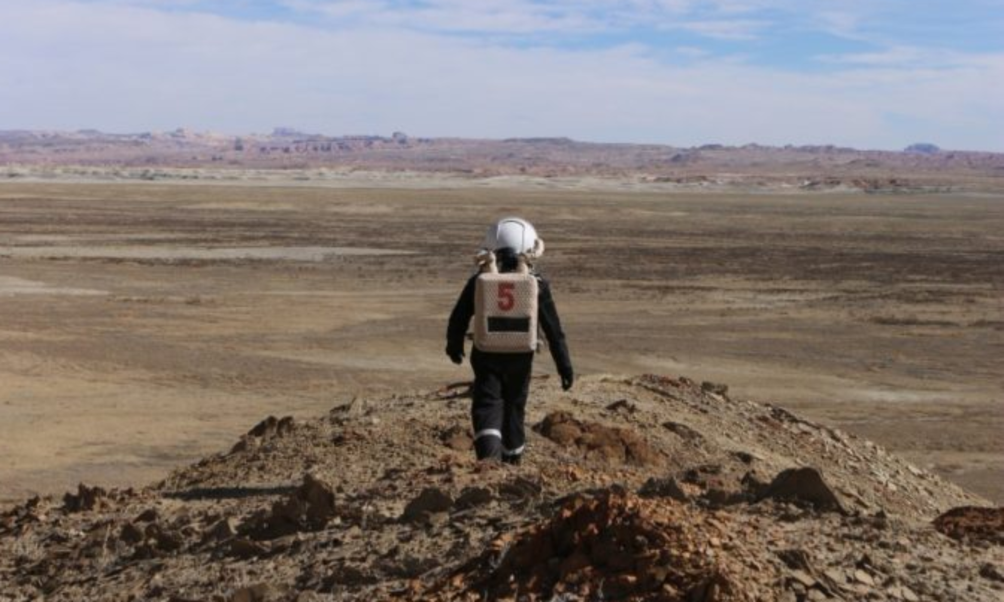
Narrative: We took 18 minutes with Curiosity and Opportunity to go to Compass Rock because we had trouble finding the entry of Galileo Road 1104. Once we were on site, we started the drone and took pictures of the site, and we decided where the checkpoint of the orienteering race will be. The goal will be to evaluate the quality and usefulness of the 3D map.
At 11:10 AM, we headed back to the station and the EVA stopped at 11:35 AM without issues.
Destination per MDRS Map: Compass Rock
Destination Coordinates (use UTM WGS 84): 520000 E, 4252000 N
EVA Participants:
– EVA Leader : Adrien, Journalist
– Célia, Astronomer
– Lou, Engineer
Road(s) and routes per MDRS Map: Cow Dung Road towards North, Galileo Road 1104
Mode of travel: driving and walking