
Crew 315 EVA Report 28-04-2025
EVA # 16
Author: Michael Andrews
Purpose of EVA: Hike the footpath to the west of MDRS to look for new rock samples and fly HSO Koi’s drone over a distinguishable landmark for more familiarity.
Start time: 0910
End time: 1038
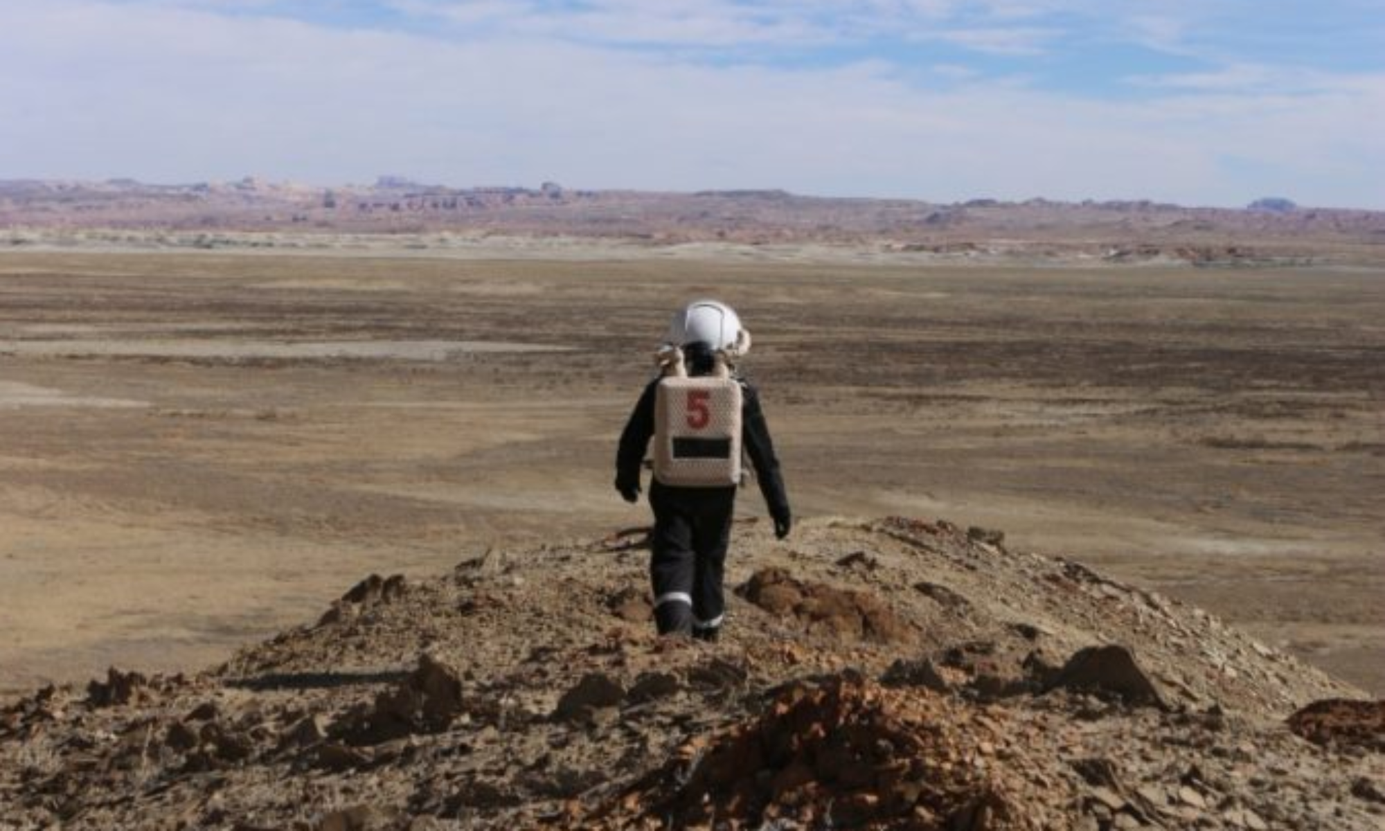
Narrative: The EVA crew departed the airlock and headed north. At first we did not find the true footpath to Hab Ridge, so we followed the riverbed that provided the firmest dirt and footing. Once we arrived at the North Ridge, we saw the true path to the west and began ascending.
The path was a steady incline and quickly leveled off at the top of the ridge. The team took some photos of the vistas before proceeding south along the ridge. After about 10 minutes of hiking, we reached an overlook directly above MDRS. We took some photos of the station (and CapComm took some photos of us) before heading back.
Along the way, we did not find any new or interesting rock samples to return for scanning, but the crew did find more photos for our 100cameras project. The true path to and from the ridge was followed all the way back to the hab.
Destination: Hab Ridge, from the North Ridge destination on the MDRS map to Kissing Camel Ridge destination
Coordinates (use UTM WSG 84): Easting: 517800, Northing: 4249000 through 4252000
EVA Participants: Michael Andrews (Crew Engineer and EVA Lead), Urban Koi (HSO), Elena Saavedra-Buckley (Crew Journalist)
Road(s) and routes per MDRS Map: Took the footpath north of MDRS that leads to Hab Ridge, and then proceeded north and south along Hab ridge for about an hour before returning back the footpath to MDRS.
Mode of travel: Walking