
Crew 314 EVA Report 04-13-2025
EVA # 9
Author : Odile Hilgers
Purpose of EVA : Driving to the Sea of Shells to get some soils for Berengère’s experiment, and on the way back, stopping at the intersection of Galileo Road and Cow Dung Road to check Antoine’s equipment.
Start time : 9:32am
End time : 11:50am
Narrative :
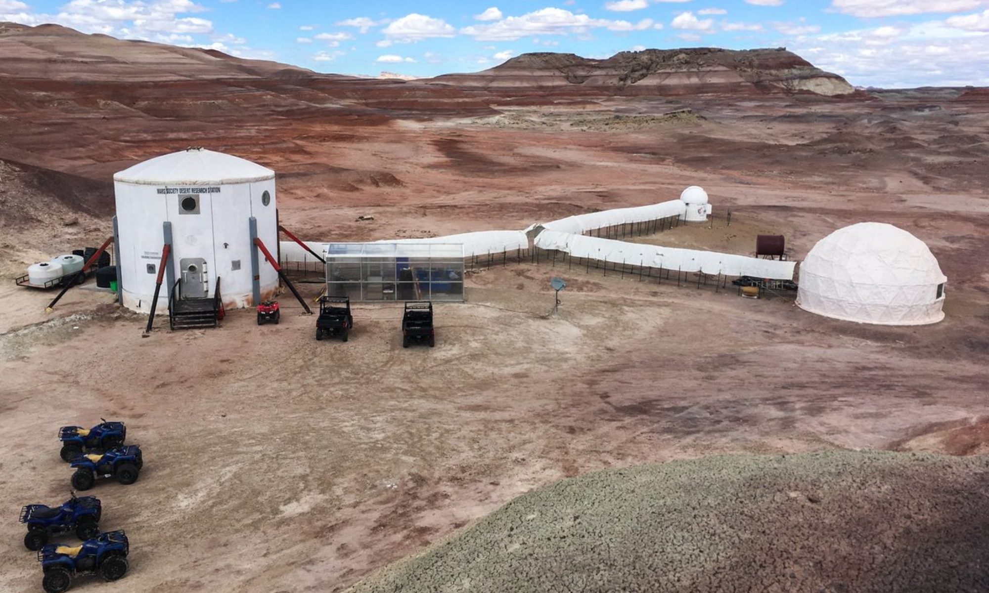
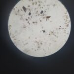
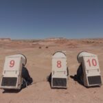
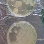
Four crew members participated in today’s EVA. Among them was our GreenHab Officer, Bérengère Bastogne, who is currently conducting an experiment involving fungi and requires soil samples from various Martian locations. Today, she collected a sample from the Sea of Shells, a place where an ancient ocean once lay—now long gone. Yet, if one lets their imagination wander, it is still possible to envision waves dancing gently in the wind. Joining her was Antoine, our Crew Engineer, who needed to verify whether his installation had withstood the violent winds from the previous day.
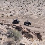
After donning their suits and completing the standard five-minute decompression, the crew exited the MDRS at 09:37. They split into two teams: Béatrice drove Opportunity with Antoine as her passenger, while Bérengère drove Curiosity with Arnaud—today’s EVA leader—riding as her passenger. Shortly after departure, Mission Support informed us that the crew was driving a bit too fast and reminded them to reduce their speed in order to conserve the rovers’ battery life.
At 09:42, the crew made contact to report that they had reached the intersection of Galileo Road and Cow Dung Road. At 09:53, they turned left onto Brahe Highway, and at 09:57, they checked in again to determine their distance from the intersection with Copernicus Highway—they were approximately 250 meters away (about 0.15 miles).
No further radio contact was made after that point; however, the crew’s position was continuously tracked via GPS. They arrived near their intended destination at 10:20 and began exploring the surrounding area, collecting two soil samples for Bérengère’s experiment. Concerned about Opportunity’s battery level—down to 57%—they decided to park the rover slightly earlier than initially planned. They also deployed the drone to capture aerial photographs of the canyon.
The crew left the Sea of Shells at 11:20. They attempted to contact CapCom at 11:26, but the signal was very weak, and no communication was possible until 11:40.
At 11:40, they reached the intersection of Cow Dung Road and Galileo Road, where they checked Antoine’s equipment. They briefly reported their activities : Antoine drove Opportunity until they reached Galileo Road, after which Béatrice resumed driving. Arnaud remained the driver of Curiosity for the entire return trip.
Destination : Sea of Shells (4256500N, 517000W)
Coordinates (use UTM WGS 84):
First stop : Sea of Shells (4256500N, 517000W)
Second stop : Intersection Galileo Road and Cow Dung Road (4252250N, 519000W)
Participants : Antoine Dubois (Engineer), Béatrice Hollander (Commander), Bérengère Baltus (Greenhab), Arnaud de Wergifosse (Executive Officer)
Road(s) and routes per MDRS Map : Moonwalk Road, then Cow Dung Road 0110. Turning at Brahe Highway to Overlook, and then Copernicus 1575 Highway to reach Sea of Shells.
Mode of travel : Driving and walking.
You must be logged in to post a comment.