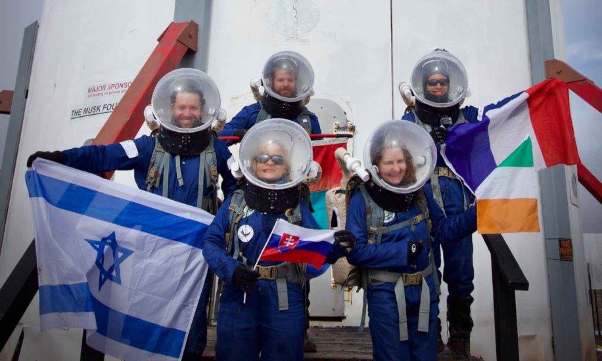

EVA Report – January 4th

EVA #2

Author: Sionade Robinson

Purpose of EVA: Rehearsal and recognisance of Marble Ritual site and environs..

Start time:14.00

End time: 14.50

Narrative: On recommendation of Mission Support, our three crew
undertook a rehearsal EVA to the destination specified, using suits,
rovers, maps, coordinates and radios. Various rock samples and
landscape features were photographed, small rock samples collected and
identified subsequently at the Hab.

Destination: Marble Ritual

Coordinates (use UTM NAD27 CONUS): 38.41N by 110.79W

Participants: HSO Turner, Engineer Werner, Commander Robinson.

Road(s) and routes per MDRS Map: Cow Dung Road to Pooh’s Corner where
rovers were parked and then party proceeded by foot.

Mode of travel: Opportunity and Spirit Rovers, by foot.

[end]

EVA Report – January 4th

Crew 238 EVA Report 04-01-2022

EVA # 1

Author: Pedro José-Marcellino

Purpose of EVA: Training EVA

Start time: 11:16 AM

End time: 12:26 AM

Narrative: Short training EVA to Marble Ritual, as pre-determined by Mission Support. Based on tasks organized for the day, Team 1 was led by XO Marcellino. The destination appeared to be a short distance away and was found fast. We were told to look for a man-made structure, and thus kept an eye out for a marble structure. But having identified the correct location, we quickly realized there was no such thing. Instead, seeing three sticks with bowls from afar, we discussed the possibility of some sort of ancient Martian ceremony passing glass marbles from a container to the another. Yet, upon closer inspection we realized the bowls were in fact cake pans coloured after the Mars Trilogy books – hinting at a marble cake. Good one, Mission Support.

Destination: Marble Ritual

Coordinates (use UTM NAD27 CONUS): 38.41 N by 110.79 W

Participants: XO Marcellino, GHO Sandor, ART Pokrywka

Road(s) and routes per MDRS Map: MDRS access to Cow Dung Road, headed N-NE toward Pooh’s Corner where we parked. Proceeded on foot 200 m due E.

Mode of travel: Rover Spirit (lead) and Rover Opportunity

[end]

EVA Report – December 30th

Crew 236 EVA Report 30-DEC-2021

EVA # 11

Author: Vladimir Zeltsman

Purpose of EVA: Evaluation of soil and ground conditions for additional potential habitat locations and a geology survey of the Summerville formation/layers

Start time: 9:00 am

End time: 13:30 pm

Narrative: The EVA was originally requested for near and east of the summer view overlook, but changed to Candor Chasma. The coordinates are originally N4253000 W522800 but rescheduled for N4251000 W521000. The crew entered the airlock at 9:15 and headed towards Candor Chasma shortly after. Once both rovers were parked on Galileo, the crew headed east toward the destination. After hiking down into Candor Chasma, 1 location was measured to see if it was large enough for a habitat. The one location was open and had acceptable ground and soil conditions but significant terraforming would be required to make a road and clear the land of all fauna. This leads Vladimir (GHO) to believe that further east into Candor Chasma, there could be locations large and solid enough for a potential habitat location. At 11:15, the crew turned around and headed back to the rovers due to two suit failures. The crew arrived back at the Hab at 12:26. The EVA, although not producing the desired results, is still considered a success, since multiple sites were evaluated.

Destination: Candor Chasma/Region G

Coordinates (use UTM NAD27 CONUS): N4251000, W521000

Participants: Cesare (XO), Vladimir (GHO), Tyler (SCI), and Ben (JOU)

Road(s) and routes per MDRS Map: From the Hab, driving north on Cow Dung Rd to Galileo Rd and Galileo Rd to near area F; walking from area F east to Candor Chasma

Mode of travel: Driving and walking

EVA Report – December 28th

Crew 236 EVA Report 28-DEC-2021

EVA # 9

Author: Kasey Hilton

Purpose of EVA: Evaluation of soil and ground conditions for additional potential habitat locations

Start time: 10:30

End time: 14:00

Narrative: The crew entered the airlock at 10:35 and headed towards Candor Chasma shortly after. Once both rovers were parked on Galileo, the crew headed east toward the destination. After hiking down into Candor Chasma, 2 locations were measured to see if they were large enough for a habitat, but neither were, however the ground and soil conditions were acceptable. This leads Vladimir (GHO) to believe that further east into Candor Chasma, there could be locations large and solid enough for a potential habitat location. At 12:15, the crew turned around and headed back to the rovers. The crew arrived back at the Hab at 12:54. The EVA, although not producing the desired results, is still considered a success, since multiple sites were evaluated.

Destination: Candor Chasma/Region G

Coordinates (use UTM NAD27 CONUS): N4251000, W521000

Participants: Kasey (CMD), Vladimir (GHO), and Ben (JOU)

Road(s) and routes per MDRS Map: From the Hab, driving north on Cow Dung Rd to Galileo Rd and Galileo Rd to near area F; walking from area F east to Candor Chasma

Mode of travel: Driving and walking

EVA Report – December 20th

EVA #1

Author: Cesare Guariniello

Start time: 11.38 AM

End time: 12.37 PM

Narrative: Team conducted a training EVA for Marble Ritual. Crew members collected and loaded rock samples at the collection baskets on Cow Dung Road. The crew explored the hills around Marble ritual and collected rock samples before heading back to the hab.

Destination: Marble Ritual

Coordinates (use UTM NAD27 CONUS): 12S 518700 4250800

Participants: XO, ASTRO, GHO, SCI

Road(s) and routes as per MDRS Map: Cow Dung Road

Mode of travel: Spirit and Curiosity

EVA #2

Author: Cesare Guariniello

Start time: 2.04 PM

End time: 3.18 PM

Narrative: Team conducted a training EVA for Marble Ritual. Crew members collected and loaded rock samples at the collection baskets on Cow Dung Road. The crew explored the hills around Marble ritual and collected rock samples before heading back to the hab.

Destination: Marble Ritual

Coordinates (use UTM NAD27 CONUS): 12S 518700 4250800

Participants: CMD, ENG, JOU

Road(s) and routes as per MDRS Map: Cow Dung Road

Mode of travel: Spirit and Opportunity

Cesare Guariniello

XO/HSO

Crew 236

EVA Report – December 27th

Crew 236 EVA Report 27-DEC-2021

EVA # 8

Author: Kasey Hilton

Purpose of EVA: Collection of samples from region D and Mancos Shales from Copernicus Hwy for analysis of water content and analog for rocks found in Gale Crater

Start time: 9:00

End time: 13:00

Narrative: EVA prep started around 8:30 and the group going on EVA was in the airlock at 9:02. Shortly after, the two pairs climbed in Spirit and Curiosity and headed towards region D using Cow Dung Rd and Brahe Hwy. About 30 minutes later, the group reached the moon overlook (region D) and parked the rovers to start walking down Copernicus Hwy in search of gypsum and Mancos shale. At the intersection of Brahe Hwy and Copernicus Hwy, the group found multiple samples of gypsum. Further down Copernicus Hwy and closer to the boundary walls, the group found samples of Mancos shales. Cesare (XO) was particularly excited about the mancos shale because he had been trying to find some for the last four years without any luck. The group turned around and walked back along Copernicus Hwy until they reached the rovers. They arrived back at the Hab at 11:46, happy that the research objectives they set out to accomplish had been achieved.

Destination: Region D and the Morrison and Mancos Shale boundary on Copernicus (2 stops)

Coordinates (use UTM NAD27 CONUS): N4254000, W515575

Participants: Kasey (CMD), Cesare (XO), Dylan (ASTRO), Pavi (ENG)

Road(s) and routes per MDRS Map: Cow Dung Rd north to Brahe Hwy, Brahe Hwy west to Copernicus Hwy, south on Copernicus Hwy

Mode of travel: Driving to the west side of Region D and walking down Copernicus Hwy

EVA Report – December 26th

Crew 236 EVA Report 26-DEC-2021

EVA # 7

Author: Kasey Hilton

Purpose of EVA: Collection of samples from region D and Mancos Shales from Copernicus Hwy for analysis of water content and analog for rocks found in Gale Crater

Start time: 12:00

End time: 16:00

Narrative: EVA # 7 was cancelled due to extremely high winds

Destination: Region D and the Morrison and Mancos Shell boundary on Copernicus (2 stops)

Coordinates (use UTM NAD27 CONUS): N4254000, W515575

Participants: Kasey (CMD), Cesare (XO), Dylan (ASTRO), Pavi (ENG)

Road(s) and routes per MDRS Map: Cow Dung Rd north to Brahe Hwy, Brahe Hwy west to Copernicus Hwy, south on Copernicus Hwy

Mode of travel: Driving to the west side of Region D and walking down Copernicus Hwy

Crew 236 – EVA Report – 24-Dec-2021

[Commander's EVA Report – December 24th]

Crew 236 EVA Report 24-DEC-2021

EVA # 5

Author: Kasey Hilton

Purpose of EVA: Evaluation of soil and ground conditions for additional potential habitat locations

Start time: 13:00

End time: 16:00

Narrative: EVA was canceled this afternoon due to winds and rain in the morning, making the ground very muddy. Will try this EVA again on 25DEC2021.

Destination: End of Galileo Rd/Area F

Coordinates (use UTM NAD27 CONUS): N4251500, E519750

Participants: Kasey (CMD), Vladimir (GHO), Dylan (ASTRO)

Road(s) and routes per MDRS Map: Cow Dung Rd north to Galileo Rd, then heading down into area F around Compass Rock

Mode of travel: Driving and walking

EVA Report Dec 23rd

Crew 236 EVA Report 23DEC2021

EVA #4

Author: Cesare Guariniello

Start time: 9.31 AM

End time: 12.02 PM

Narrative: The team began EVA preparation around 9 and entered the airlock at 9.31, just at the beginning of the EVA window. Crew Journalist replaced his earpiece that caused issues on EVA #3. After depressurization, the crew boarded the vehicles and headed south along Cow Dung road. After a drive of about 5 km, the crew walked towards Barainca Butte. Along the way, XO had a couple of stops to collect rock samples. One rock is brown and black and heavily vesiculated (possibly scoria). Other rocks came down from upper layers of hard mudstone and conglomerates. Meanwhile, SCI took rock temperature measurements for a project on thermal inertia of minerals at MDRS. ENG and JOU assisted and documented the work. The EVA crew reached the south side of Barainca Butte and continued its research proceeding counterclockwise around the butte. After having walked about one quarter of the perimeter of the butte, JOU noted some increasing fogging of the helmet and asked to position the fan switch at maximum speed. The fogging decreased, but JOU reported the fans slowing down. The crew decided to reduce the EVA time and began walking towards the vehicles. Unfortunately, within just a few minutes, JOU experienced a total loss of the fans which, on Mars, would require an urgent contingency rescue or would result in loss of the crewmember. Since the fogging disappeared quickly and JOU reported receiving enough air from underneath the collar, he elected to keep his helmet on for the drive back to the Hab. During the drive back, the crew met some astronauts onboard terrestrial-looking vehicles. The crew stopped the vehicles on the side of Cow Dung road, south of Kissing Camel range, to let the unknown astronauts pass by, with a brief and very amicable exchange of nods and smiles. The crew returned to the Hab about one hour earlier than the expected time, without further incidents.

Destination: Around Barainca Butte

Coordinates (use UTM NAD27 CONUS): N4247200, W519000

Participants: Cesare (XO), Tyler (SCI), Ben (JOU), Pavi (ENG)

Road(s) and routes as per MDRS Map: from the Hab south on Cow Dung Road, west towards Barainca Butte (region J)

Mode of travel: Driving and walking

Vehicles used: Curiosity and Opportunity

Cesare Guariniello

XO/HSO

Crew 236

EVA Report – December 22nd

Crew 236 EVA Report 22-Dec-2021

EVA #3

Author: Cesare Guariniello, XO/HSO Crew 236

Start time: 9.41 AM
End time: 10.28 PM

Narrative: The team first entered the airlock at 9.41. During depressurization, one crew member experienced a problem with the microphone, and after 3 minutes of repressurization the crew came back into the Hab to fix the problem. After the second depressurization, the EVA crew boarded the vehicles and headed south.

About 10 minutes into the drive, loud static was heard in the communication channel. The EVA crew stopped at the side of the road to troubleshoot the problem. XO assessed the radios and found that one radio was stuck in transmission mode (TX), thus preventing one EVA crew member from receiving communication. Switching a radio showed that the issue was in the earpiece, possibly the cable (since the earpiece does not have a vox setting).

As per EVA rules, for reasons of safety, the EVA was aborted due to one crew member has lost communication. The EVA crew returned to the Hab immediately, with no further anomalies.

Destination: Around Baranca Butte (INTENDED)

Coordinates (use UTM NAD27 CONUS): N4247200, W519000

Participants: Cesare (XO), Tyler (SCI), Ben (JOU), Pavi (ENG)

Road(s) and routes as per MDRS Map: from the Hab south on Cow Dung Road, west towards Baranca Butte (region J)

Mode of travel: Driving and walking

Vehicles used: Curiosity and Opportunity

Copyright © The Mars Society. All rights reserved. | Main Site