
Report title: EVA Report
Crew #: 325
Position: HSO
Report prepared by: Isabella Levine
Date: 21dec2025
Sol: 6
EVA #: 7
Purpose of EVA: Gather Garmin data, collect geographical samples, Flir Imaging.
Start time: 10:59
End time: 1:45
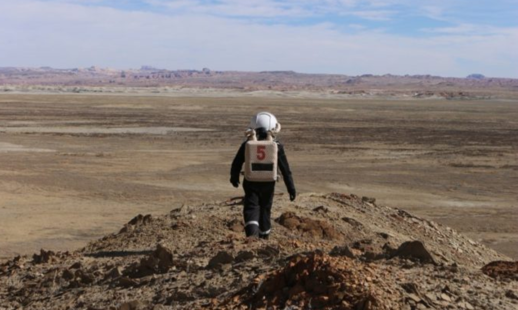
Narrative: Crew drove to the intersection of 1101, and then walked to the base of Barrainca Butte. The crew then climbed up part of the butte, collected samples, and headed back down. Once at the bottom, the crew collected more samples and took photos. The crew then headed back and took FLIR images of the HAB.
Destination per MDRS Map: Around Hab and Science Dome, and Barainca Butte.
Destination Coordinates (use UTM WGS 84): S519000, E4247500
EVA Participants: Saranya Ravva (Crew Journalist), Isabella Levine (Health and Safety Officer), Adrianna Waterford (GreenHab Officer).
Road(s) and routes per MDRS Map: Driving south on Cow Dung Road until the intersection of 1101 is reached. Park, then walk west to Barainca Butte.