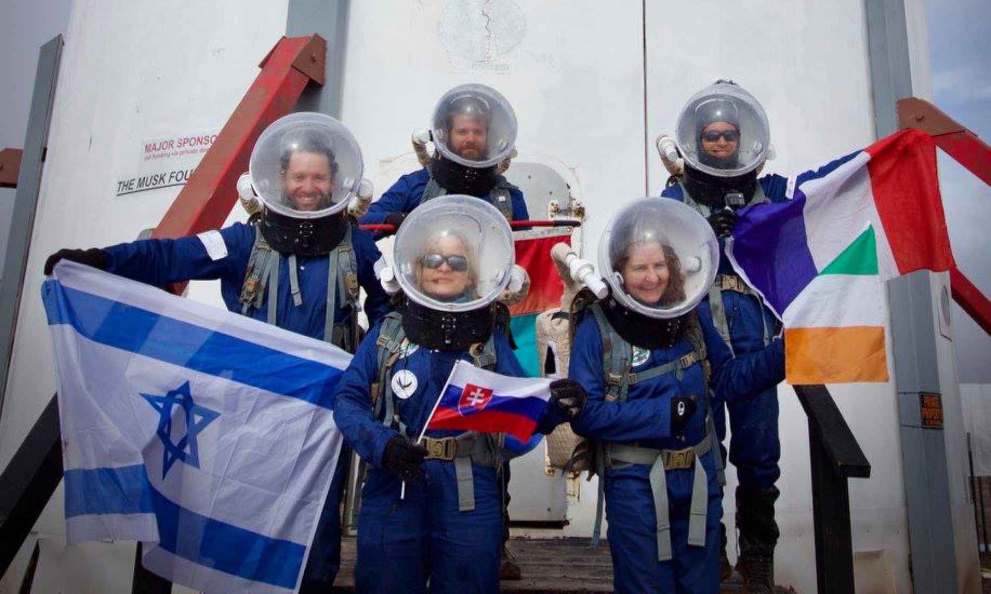
Crew 315 EVA Report 26-04-2025
EVA # 11
Author: Michael Andrews
Purpose of EVA: We plan to accomplish several objectives on this morning’s EVA before high winds arrive in the afternoon:
· The Engineer will return shells collected from EVA #7 to the Sea of Shells.
· The Engineer will attempt to set up the en situ 3D shroud for future en situ scanning.
· The HSO will operate the drone at various destinations listed below in an attempt to photograph and measure the heading of the monolith from these destinations.
· The Engineer will take several analog compass readings of the Monolith’s location.
· The Journalist may take additional desiccated soils samples at one of the locations below.
Start time: 0840
End time: 1135
Narrative: The EVA crew departed MDRS at 0840 and took two Rovers to Sea of Shells. They stopped at the Red Peaks location that the HSO had seen on a previous EVA and took some photos. Next we traveled to the Sea of Shells to return the shell specimens from our 3D scanning project. After being there only a few minutes, we then proceeded to the Overlook for our remaining objectives.
We stopped about 0.5 kilometers north of Overlook and began to accomplish several objectives in parallel. Engineer Andrews set up Starlink and was able to assemble the 3D scanning shroud in 9 minutes, although it is susceptible to winds over 10 mph and may need weights to anchor it. He also took a manual compass heading of the Monolith’s location and captured the GPS coordinates of the rover location via smartphone. HSO Koi began her drone flight to document the Monolith.
This Overlook-adjacent spot was advantageous, as she was able to fly closer to the Monolith than before. On her first of three battery packs, she determined that reaching the Monolith would be possible with some modifications. However, on the second battery pack attempt, southerly winds provided too much drag against the drone, and it had to perform a forced landing approximately 0.6 kilometers north of our Overlook point. The team repositioned the rovers to the base of the Overlook and set out on a quick hike, spreading out and surveying the landscape for the downed drone. Fortunately, HSO Koi was able to locate the drone within 15 minutes and we returned to the rovers to proceed to our final destination.
The stop at Galileo Road was short: only taking 5 minutes to take a compass heading (which Journalist Saavedra-Buckley confirmed with a Starlink-connected smartphone) and GPS coordinates before returning to MDRS at approximately 1130.
Destination:
· Sea of Shells (and nearby Red Peaks area that HSO has taken photos of)
· Overlook
· Galileo Road (Monolith viewing location)
Coordinates (use UTM WSG 84):
· Sea of Shells: Easting: 516400, Northing: 4255250
· Overlook: Easting: 516000, Northing: 4254500
· Galileo Road: Easting: 519500, Northing: 4252200
Participants: Michael Andrews (EVA Lead and Crew Engineer), Urban Koi (HSO) and Elena Saavedra-Buckley (Crew Journalist)
Road(s) and routes per MDRS Map: Left MDRS and travel north along Cow Dung Road until Brahe Hwy. Took a left onto Brahe Hwy until the road ends, then took a right onto Copernicus Hwy. Proceeded along Copernicus Hwy until arriving at Sea of Shells. Once done at that location, headed back south along Copernicus until reaching the fork in the road to stop at Overlook. Once done at that location, traveled east along Brahe Hwy, then south along Cow Dung Road until reaching Galileo Road. Traveled east along Galileo Rd for 0.5 kilometers until reaching the final coordinate. Once done at that location, traveled west along Galileo Rd to Cow Dung Road, then south along Cow Dung Road until reaching MDRS.
Mode of travel: Rovers Perseverance and Curiosity were used to travel to the destinations above, and the EVA team will walk around each site on foot, never traveling more than 1 kilometer away from the rovers.

